Search results
Archive type
Content type
Related places
Languages
Scripts
Showing 1 to 11 of 11 results
-
Box 10 - Photographs
A map of Uganda, published by the Geographical Section, General Staff (No. 2571), drawn and printed at the War Office, 1911. Names of people that…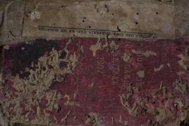
-
Photograph
Overview of complete map of Uganda showing the different regions. Extent of original material: 1 map of Uganda attached to cloth and mounted into a…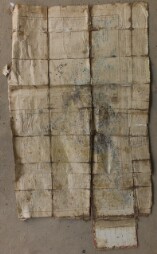
-
Photograph
A map with drawings in pen. Extent of original material: 1 map of Uganda attached to cloth and mounted into a book. Physical condition of original…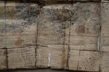
-
Photograph
Part of a map. Extent of original material: 1 map of Uganda attached to cloth and mounted into a book. Physical condition of original material:…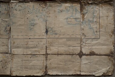
-
Photograph
Inside of the book. Extent of original material: 1 map of Uganda attached to cloth and mounted into a book. Physical condition of original material…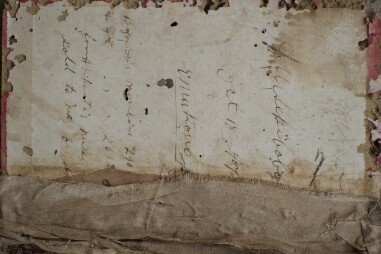
-
Photograph
A map of Uganda showing the different towns. There are some hand written drawings on the map. Extent of original material: 1 map of Uganda attached…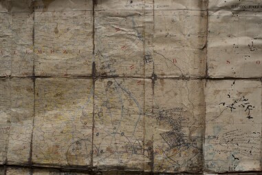
-
Photograph
Same as image 1. Extent of original material: 1 map of Uganda attached to cloth and mounted into a book. Physical condition of original material:…
-
Geographical map of Liberia [circa 1949-1959]
Maps, Documents. Liberia, Africa.Format of original material: 6 x 8 inch Color Print. Photographer: unknown. Publisher/Agency: Orphan work.…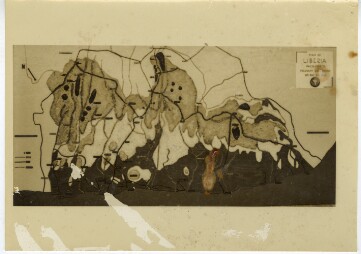
-
Photograph
A map with some names written by pen. Extent of original material: 1 map of Uganda attached to cloth and mounted into a book. Physical condition of…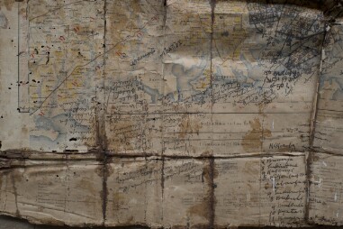
-
Photograph
A map of Uganda showing the different towns in Bulemezi. Extent of original material: 1 map of Uganda attached to cloth and mounted into a book.…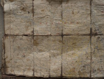
-
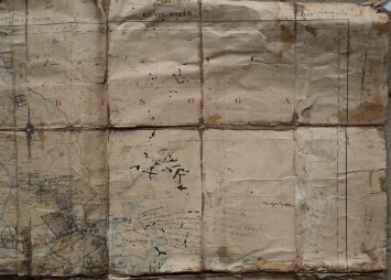
Photograph
A map showing the areas of Busoga region. Extent of original material: 1 map of Uganda attached to cloth and mounted into a book. Physical…