Archival records from Buddhist archive of photography, Luang Prabang, Laos - major project phase II (EAP326)
Archive type
Content type
Languages
Scripts
Showing 1 to 7 of 7 results
-
Text/document [1960s]
Map of Lao colonies of Siam, Lao colonies were divided to four parts in A.D.1891, there are Colony of Lao Kao, Colony of Lao Phuan, Colony of Lao…
-
Monastery/architecture [2008]
Reproduction of original pencil / charcoal drawing of an impressionistic map of Luang Prabang. SuvannaKhili can be seen near the tip of the…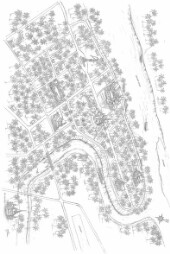
-
Text/document [1930s]
The map of Laos.Original material consist of: monochrome halftone print.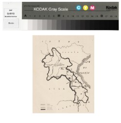
-
Text/document [1960s]
The map of Indochina former governed of France.Original material consist of: text/document.
-
Text/document [1950s]
The map of Laos, era of Lao Kingdom governed by King under constitution.Original material consist of: text/document.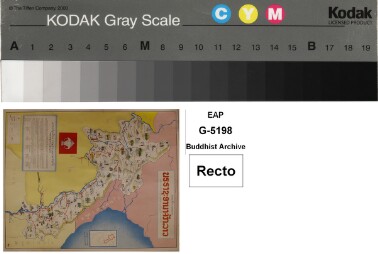
-
Text/document [1950s]
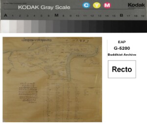
Map of the location of every temples in Luang Prabang, there are 65 temples.Original material consist of: text/document.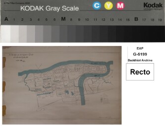
-
Text/document [1950]
Map of Luang Prabang during the Buddha's time, before B.E.2550. This map, Chao Khamman Vongkotrattana offered to Pha Khamfan Silasangvara Maha…